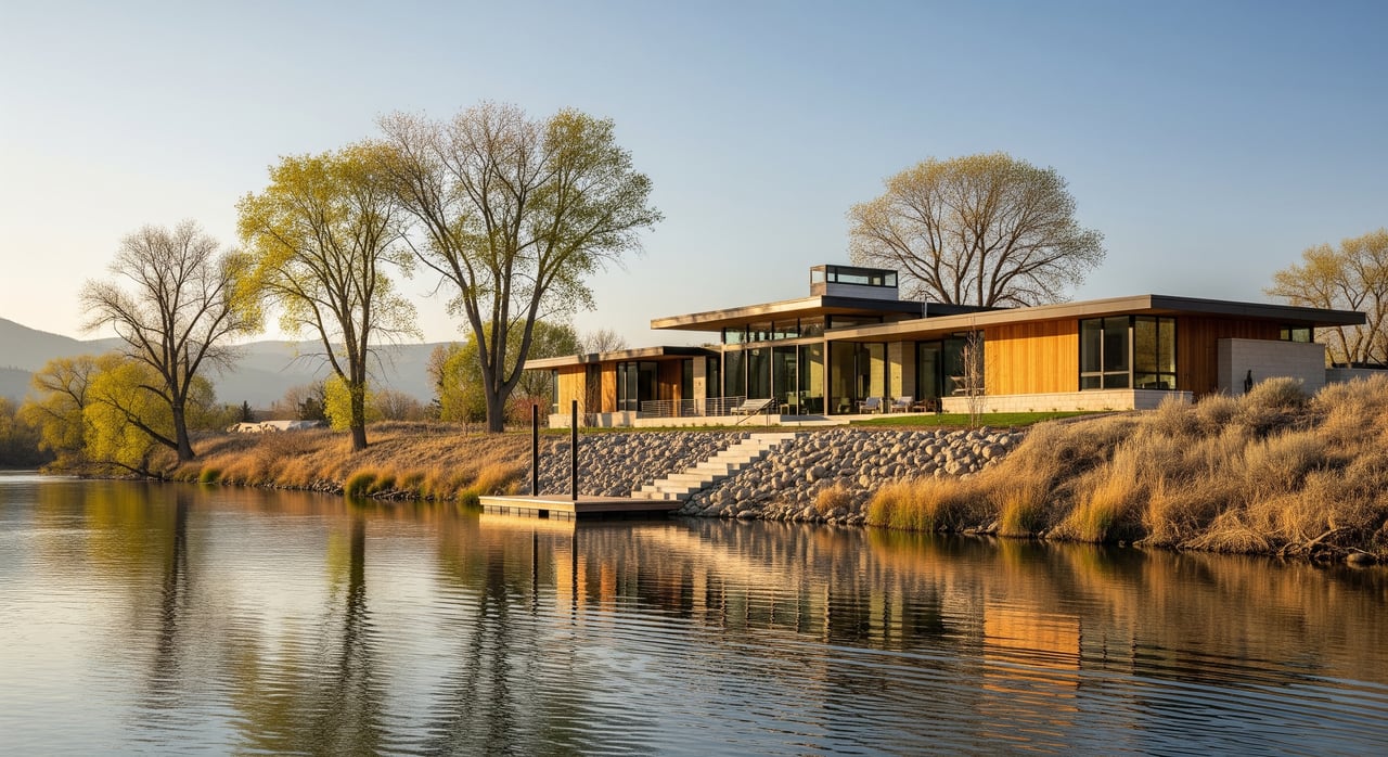
Do you picture morning walks under cottonwoods, the river gliding beside you, and weekend paddle sessions just minutes from home? If so, living near the Boise River in Eagle might be exactly what you’re after. You want easy trail access, relaxed outdoor time, and a home that fits your day-to-day rhythm. In this guide, you’ll learn what the river lifestyle looks like, from the Greenbelt to Eagle Island State Park, plus key buying tips like floodplain checks, access rights, and upkeep. Let’s dive in.
Boise River basics in Eagle
The Boise River flows west through Ada County, with Eagle positioned along the north bank for a notable stretch. You’ll find multiple public access points to the Boise River Greenbelt, a continuous riverside path network that connects Eagle with nearby communities. The Greenbelt is commonly described as a roughly 20 to 25 mile corridor that threads through parks, neighborhoods, and trailheads.
Eagle sits about 12 to 15 miles from downtown Boise, which is usually a 20 to 30 minute drive depending on traffic. Many residents enjoy the option to bike portions of the Greenbelt for errands or weekend rides. The climate is semi-arid with hot, dry summers and cold winters. Along the river, the shade and cooler microclimate can make summer walks and rides especially comfortable.
Everyday outdoor life along the river
If you live near the river, the Greenbelt often becomes part of your daily routine. You can walk, run, cycle, or push a stroller along smooth sections, and there are stretches ideal for dog walks. Parks and trailheads are easy to reach, so short outings before or after work are simple.
Eagle’s downtown core is just a short drive from many river-adjacent areas. You can pair a morning ride with a coffee stop or swing by the farmers market on weekends. The rhythm feels practical and refreshing, since the path links your home life with everyday errands and recreation.
Eagle Island State Park highlights
Eagle Island State Park is one of the area’s signature river recreation hubs. Residents head here for warm-season swimming, paddleboarding, disc golf, picnics, and seasonal events. The designated swim areas and open lawns make it a go-to spot when temperatures rise.
Peak use runs from late spring through early fall. Weekends can be lively on sunny days, so plan for earlier arrivals if you want quieter moments. In winter, the park’s trails still draw walkers and birders who enjoy the riparian scenery.
Water fun: floating, paddling, and fishing
Floating the Boise River is a celebrated local pastime. In season, you’ll see inner tubes and rafts drifting along calmer stretches. Water levels change over the year, so always check local guidance for safety updates and recommended put-in and take-out points before you go.
Kayaking and paddleboarding are common in calmer sections and within park boundaries. Match your craft and skill level to the conditions and wear proper safety gear. For anglers, the Boise River supports trout species and warm-water fish such as smallmouth bass. Regulations, seasons, and stocking updates are provided by state authorities, so plan your trip with current information.
Wildlife and year-round nature
The river corridor is a rich habitat for waterfowl, songbirds, and raptors. You might spot herons along shallow bends or see signs of beaver activity. Winter brings quieter paths that work well for birding and photography. Spring greening, summer shade, and fall color give you a reason to use the trails all year.
Homes and neighborhoods near the river
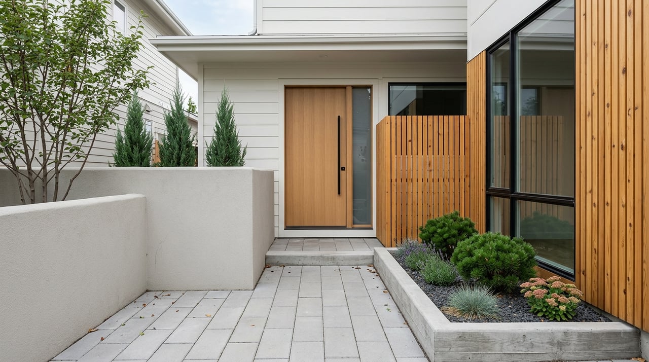
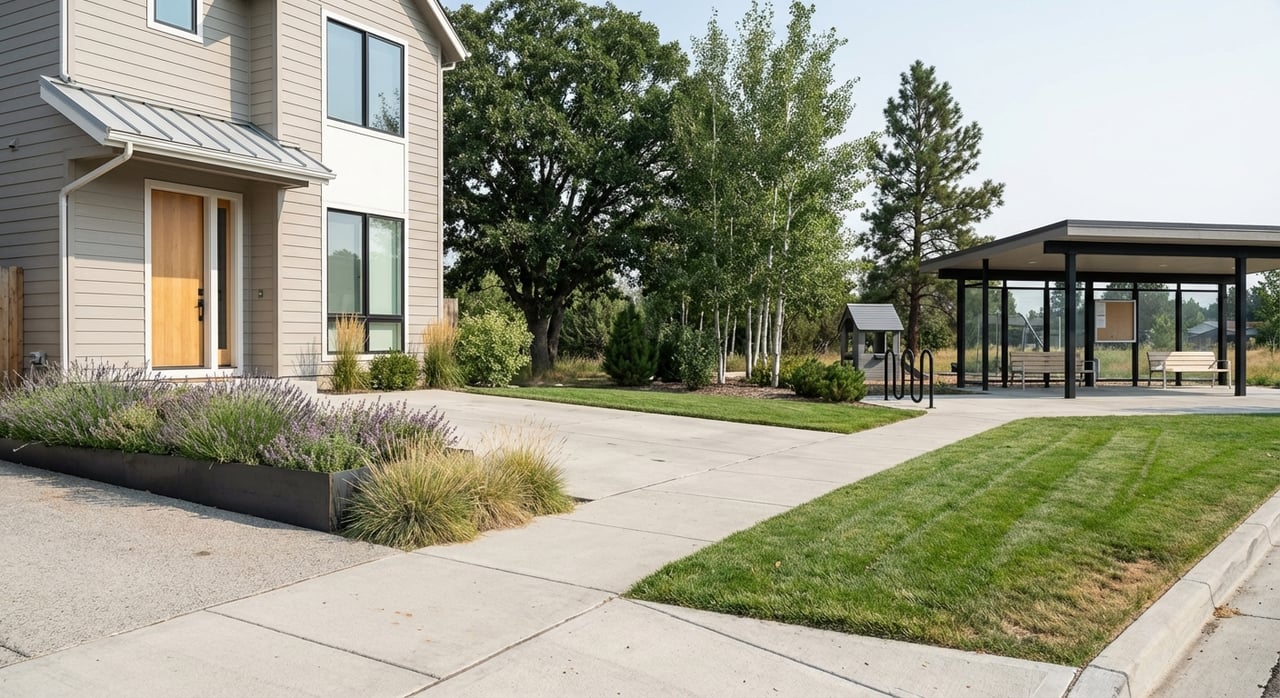
River-adjacent homes in Eagle come in a variety of styles. You’ll find custom-built residences on larger lots, updated homes positioned for views, and a mix of ranch and two-story designs. Established parcels often feature mature trees and native vegetation, while newer communities tend to emphasize outdoor living spaces and easy trail access.
Some riverfront parcels feel more private, especially those on larger lots. River-adjacent subdivisions can have higher density, but they often remain close to the Greenbelt. Properties with direct river frontage or views typically command a premium compared with similar homes farther inland. Inventory and pricing vary, so it helps to track active listings and recent sales over time.
Access: public vs. private
It is important to understand how access works before you buy. The Greenbelt is public infrastructure, but individual riverbanks can be a mix of private property, easements, and city or county ownership. A home’s marketing may highlight proximity to the river, yet the lot might rely on nearby public access instead of direct, private access.
If you want to launch a kayak or fish from your backyard, confirm the property’s legal riparian access and any recorded easements. If the lot does not include private frontage or rights, you will likely use designated public put-in and take-out points.
Floodplain, insurance, and due diligence
Parts of the Boise River corridor fall within FEMA-designated floodplains. Lenders may require flood insurance for homes in mapped zones, and premiums vary by elevation and risk. Even outside mapped areas, localized flooding can occur in certain conditions, so you should review current maps and consult your lender or insurance provider about coverage.
Before you make an offer, consider the following due diligence steps:
- Review FEMA Flood Insurance Rate Maps and any local floodplain resources. Confirm whether the structure sits within a mapped zone.
- If needed, obtain or review an elevation certificate to understand flood risk and insurance implications.
- Ask your lender and insurance provider for a flood insurance quote and requirements specific to the property.
- Investigate historical water levels and seasonal flows when available.
Permits, setbacks, and HOAs
Projects that affect the shoreline often require permits and must meet setback rules. That includes docks, retaining walls, or any substantial changes to the riverbank. Regulations typically involve city or county planning departments and may include state-level riparian rules. If you have a long-term vision for terraces, steps, or bank stabilization, verify what is allowed early in your process.
In subdivisions with homeowners associations, Covenants, Conditions, and Restrictions can govern landscaping, exterior structures, and shared access points. Ask for the most recent CC&Rs, design guidelines, and rules related to common areas or river paths. Clear knowledge up front will help you plan improvements and avoid surprises after closing.
Erosion, landscaping, and stewardship
River edges are dynamic environments. Vegetated buffers with native plants help stabilize banks and support habitat. Removing vegetation or reshaping a bank without proper guidance can increase erosion risk and may conflict with permit requirements. Work with experienced professionals if you are considering changes.
In this setting, landscaping plans should account for invasive species and potential wildlife interactions. Larger lots near the river may use septic systems or private wells. Confirm locations, condition, and compliance for all utilities during inspections.
Seasonal rhythms and trade-offs
The same features that make river life appealing can bring trade-offs. On hot summer weekends, Eagle Island State Park and popular Greenbelt access points can be busy. Homes that back directly to the Greenbelt may experience more pedestrian and bike traffic. For some buyers, the energy adds community interest. For others, it can affect privacy at certain times.
Winter trail use typically tapers to walkers and birders. Shoulder seasons can be peaceful, with mild temperatures and fewer visitors. Consider visiting prospective neighborhoods at different times and days to get an accurate feel for traffic, noise, and overall pace.
A simple checklist for river buyers
Use this quick checklist to compare river-area homes:
- Access and frontage: Confirm public vs. private access and any recorded easements.
- Floodplain status: Check FEMA maps, elevation data, and lender requirements.
- Permits and improvements: Review rules for shoreline work, retaining walls, decks, and docks.
- HOA and CC&Rs: Understand design controls, landscaping standards, and common area rules.
- Utilities and systems: Verify septic or well status if present, and map all utility locations.
- Erosion and vegetation: Assess bank stability, buffers, and any needed restoration work.
- Seasonal use: Visit on weekends and weekdays to gauge traffic and trail activity.
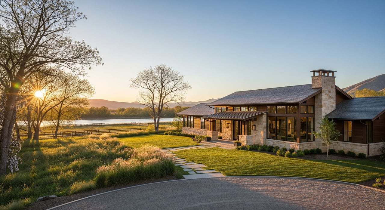
What it feels like to live here
A typical day living near the river starts early on the trail. You might take a quick jog on the Greenbelt, then head home for coffee on a shaded patio. In the evening, a short ride or a calm paddle session can reset your day. When friends visit, Eagle Island State Park often turns into the go-to plan for picnics, swims, and casual time by the water.
The river’s presence tends to shape simple daily habits. Short outings are easy, errands feel close, and nature stays within reach even during a busy week. If you value an outdoor-forward lifestyle, this setting offers a steady dose of it.
How I help you find the right fit
Buying near the river is about more than a pretty view. You want the right mix of access, privacy, insurance requirements, and improvement potential. I focus on practical due diligence, from floodplain checks and access verification to HOA and permit guidance. You get clear next steps, strong negotiation, and local knowledge that saves time and stress.
If you are weighing a sale, thoughtful preparation and professional staging can elevate your result, especially for homes that highlight outdoor living. My approach pairs polished marketing with a concierge experience tailored to your goals. Ready to explore your options or get a data-backed home value? Connect with Nicole Morgan to get started.
FAQs
What is the Boise River Greenbelt near Eagle?
- It is a continuous riverside trail network that connects Eagle with nearby communities and spans roughly 20 to 25 miles across the corridor.
How close is Eagle to downtown Boise for commuting?
- Eagle is generally 12 to 15 miles from downtown Boise with typical drives of 20 to 30 minutes depending on traffic.
When is the best season for floating and swimming?
- Late spring through early fall are peak months for floating, paddle sports, and swim days at Eagle Island State Park, weather and conditions permitting.
Do homes near the river require flood insurance?
- Possibly. Requirements depend on FEMA floodplain status, elevation, and lender rules, so review maps and consult your lender and insurer.
Can I launch a kayak from my backyard in Eagle?
- Only if your property includes legal riparian access and no local restrictions apply. Many residents use designated public put-in and take-out points.
Are docks or retaining walls allowed on the Boise River?
- These are typically regulated and may require permits and setbacks. Check with local planning authorities before planning any shoreline changes.
What types of homes are common along the river?
- You will find custom riverfront homes, updated single-family houses, ranch-style properties, and newer two-story builds that emphasize outdoor living and views.